Brent Riley
Fifteen years turning geospatial data into tools people use, from the database to the map.
Featured project
fieldnotes
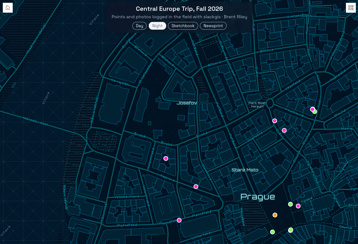
A field data collection app that grew out of Slack slash commands. On a trip through the Netherlands, Germany, Austria, and Czechia, I logged 93 points with photos from my phone, each one enriched automatically with its address, elevation, and that day's sunrise and sunset.
An hourly pipeline loads the data into PostGIS with GDAL, a FastAPI service serves it as GeoJSON, and a React app built on the ArcGIS Maps SDK maps it, colored by the light each moment was captured in. Everything is self-hosted in Docker on a server I built.
About
I've spent fifteen years working with geospatial data, from drawing oil and gas lease polygons out of metes-and-bounds descriptions to leading the Texas Department of Transportation's spatial data development for the federal NBI-to-SNBI bridge inventory transition. Along the way I've specialized in the data development side of GIS: pulling usable data out of difficult systems, turning manual processes into automated pipelines with FME and Python, and publishing it as services and dashboards people rely on, including the Texas COVID-19 dashboards at DSHS. These days I'm building end to end, from field collection to PostGIS, APIs, and web maps, on infrastructure I run myself. I'm looking for a role where that's the job: building geospatial applications and data pipelines with a team.